Our newest team member, Jordan Ryan, joined us in late summer 2025. With a BSc (Hons) in Wildlife and Conservation Management and training in Peatland Assessment and Restoration Design, she previously worked as a Peatland Restoration Project Officer in East Ayrshire. For her dissertation, Jordan researched the relationship between dragonfly larvae abundance and peatland bog pool characteristics, so it’s fair to say she’s passionate about bogs!
Jordan now brings that experience to Forest Carbon, and in this piece, she shares her perspective on the practical, on-the-ground side of peatland restoration.
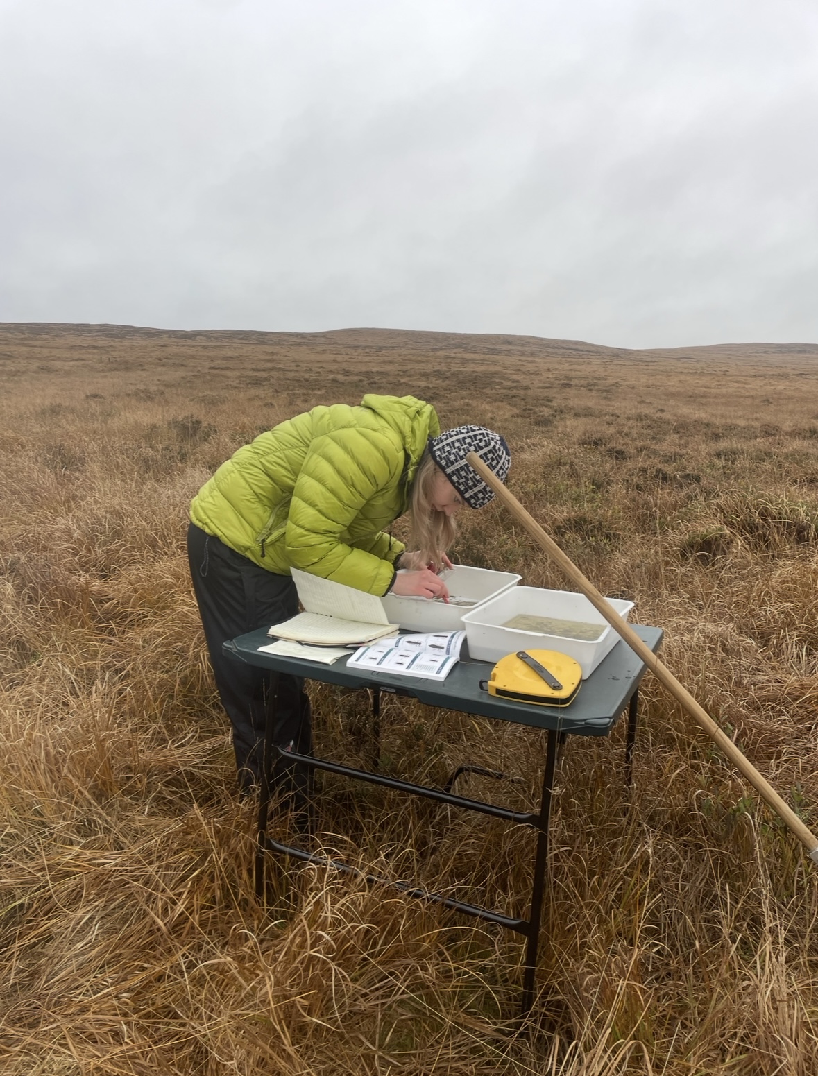
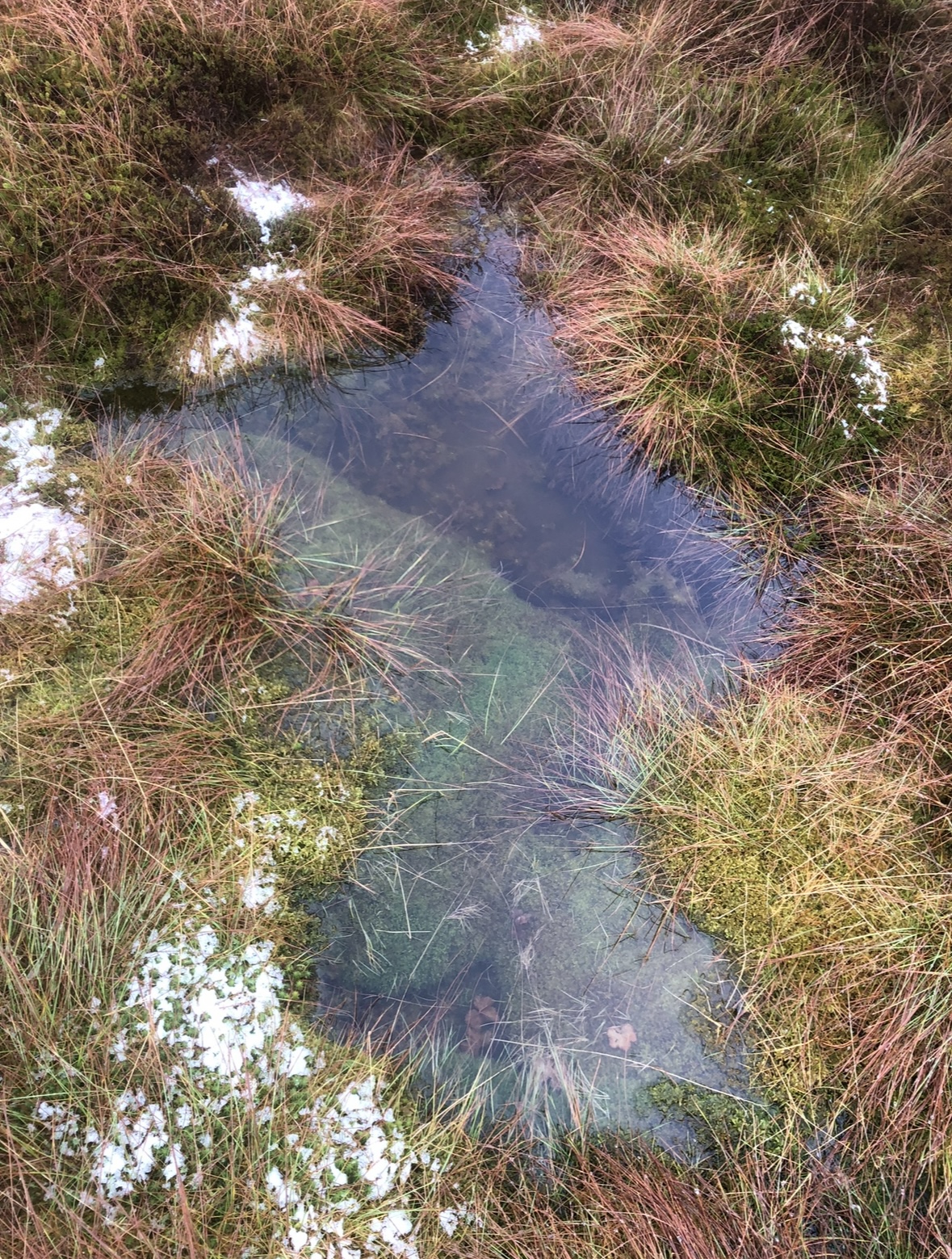

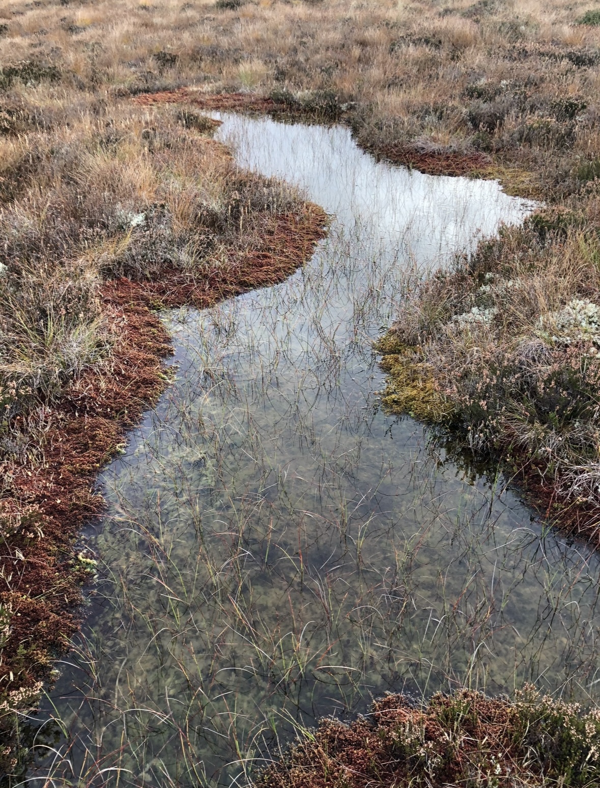
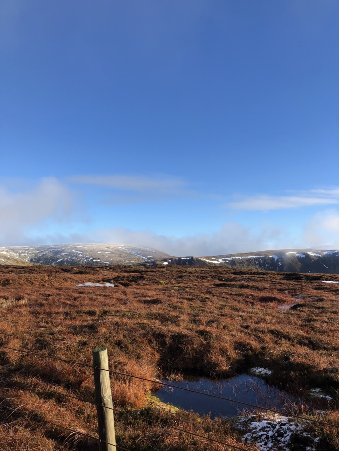
At first glance, restored peatlands can seem quite unassuming, expanses of ‘empty’ rolling moorland with bog cotton swaying in the wind. But behind every restoration project lies a story of meticulous data collection and careful planning.
Blanket bogs are a type of peatland that forms over thousands of years, in cool, wet climates where rainwater is the main source of water. It gets its name because it “blankets” the landscape, covering large upland areas with a layer of peat and specialist vegetation.
In this blog, I’d like to share a personal perspective on some of the practical, on-the-ground aspects of restoration work. I’ll be focusing on peat depth surveying, which provides the foundation for understanding a site and planning effective restoration interventions.
Now, I deal with field data from the perspective of a project developer, taking projects through the Peatland Code. Field data, such as peat depths and condition assessments, form the basis of our knowledge of sites and is essential when it comes to quantifying the carbon units associated with any given restoration project. A key consideration when entering a project into the Peatland Code.
Why Peatlands Matter
Peatlands matter because they provide vital benefits. Restored and near-natural peatlands act as a natural flood management technique, holding water back and releasing it slowly, reducing flooding risk downstream. They are also one of the world’s most important carbon stores, locking away carbon that would otherwise be released. Beyond this, peatlands are home to a unique array of plants and wildlife and protecting them is increasingly important in the face of the biodiversity crisis.
Why Peat Depth Matters
When measuring peat depth, it’s incredible how far the peat probe can go and how deep peatlands really are. It is awe-inspiring to realise that on average, each millimetre of peat represents 1 year of accumulation (Particularly when you find yourself measuring something that is 7m deep…).
Peat depth gives us two key insights: it indicates how much carbon is stored in a site and helps to guide restoration design.
Surveying peat depth may seem simple: push a probe in the ground and take a measurement, but in practice, it’s a systematic and careful process that is often demanding with long hikes through pathless, degraded bog in difficult weather conditions. On almost all peatland restoration projects surveyors work across the landscape on 100m x 100m grids, taking hundreds of peat depth measurements. Peat depth can vary dramatically even over short distances (due to the underlying bedrock), so carrying out accurate data collection is essential for creating a true understanding of a site. For sites planning on entering the Peatland Code, we must be even more precise; if a measurement shows a depth of less than 50cm, the grid is intensified to 50m x 50m around that shallow point, and this continues until all surrounding measurements confirm peat depths greater than 50cm. This adjustment in grid size helps capture the natural variation of peat more accurately.
From Data to Action
Once peat depths are collected, the next step is bringing the data to life. Every peat depth is georeferenced, helping us to transform the collected data into digital images that are essential for risk assessments, restoration planning, and guiding the contractors who carry out the practical work on site. This is particularly important where deep peat may be unstable depending on its condition, and heavy machinery risks becoming ‘bogged’.
Just as importantly, capturing site-specific variations allows restoration teams to design tailored strategies and decide which interventions are most appropriate for each location - from peat dams to reprofiling or rewetting. All of these techniques focus on raising the water table to re-wet peat and create favourable conditions for peat-building mosses like sphagnum to thrive.
Beyond these practical considerations, peat depth measurements directly inform Peatland Code projects. Peat depths determine Peatland Code project eligibility and duration. Projects run for a minimum of 30 years, and the chosen duration is directly linked to available peat depth on the site - 75% of survey points must exceed the minimum peat depth required for the intended project duration (a minimum of 30 years = a minimum 75% peat depth of 30cm or more). Peat depths also underpin the calculation of Pending Issuance Units (PIUs) - a ‘promise to deliver’ a Peatland Carbon Unit in the future.
In this way, detailed field data underpins both the practical delivery of restoration and the integrity of projects in the carbon market.
Beyond the technical details, there is a very human side to this kind of work. Fieldwork often involves long days outside in some of the most remote reaches of the country. Weather, poor signal, and the logistics of carrying equipment across uneven terrain all make each day unpredictable. Yet the chance to enjoy the beauty of more remote landscapes is a huge benefit of having site work as part of the job. There is a real satisfaction in gathering data, knowing every point collected contributes to a much bigger effort to restore these landscapes. The information we gather becomes the foundation for decisions, turning data into action, and in doing so, helping us reconnect with landscapes that have too often been overlooked. Ultimately, the data collected in the field forms the foundations for peatlands to be credible in the carbon market. By linking restoration outcomes to measurable carbon savings, it ensures that benefits aren’t just assumed but verified. This verification strengthens confidence in the carbon market and creates new opportunities for funding that enables landscape-scale restoration at a larger and faster pace.
If you’d like to hear more about how fieldwork shapes our projects, or want to swap stories from the bogs - feel free to get in touch.
/public/697/b68/4f8/697b684f89c4f754947742.png)
/public/694/2e2/b68/6942e2b689131175280316.jpg)
/public/692/dd7/e0c/692dd7e0ca905474952387.jpg)